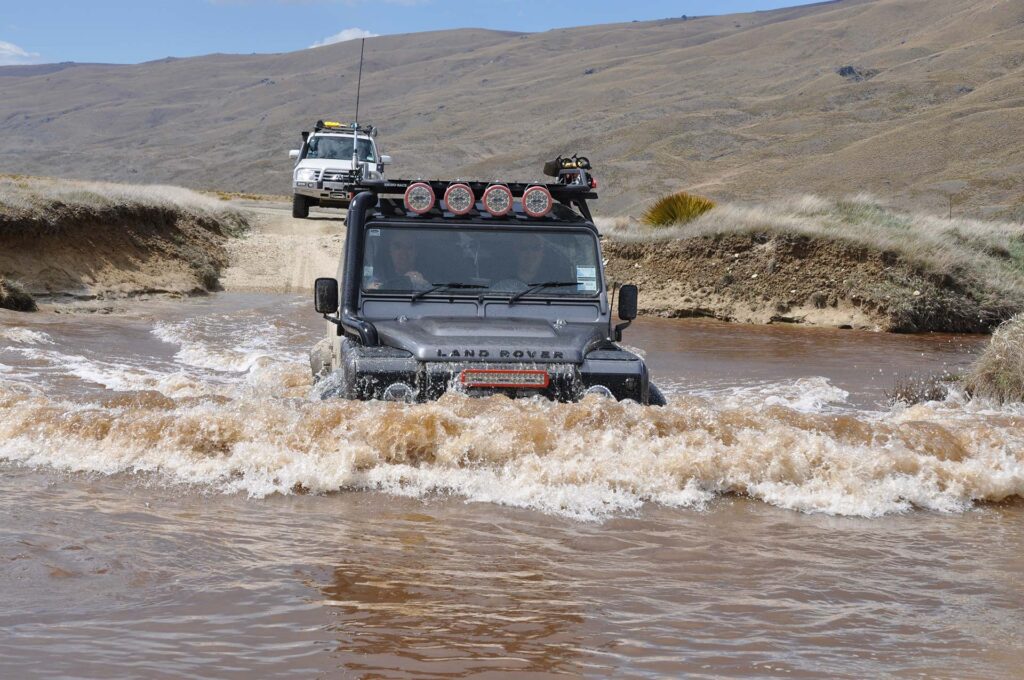
The Nevis is one of the must-do 4WD trips in the South Island, so of course it’s in the book. Here, as a sampler, are the route notes from 4WD South: 115 Off Road Adventures in NZ’s South Island.
From Wanaka, Queenstown or Cromwell, a day trip will take you south along the edge of Lake Wakatipu to Garston, then over the southern end of the Hector Mountains to the Nevis Valley.
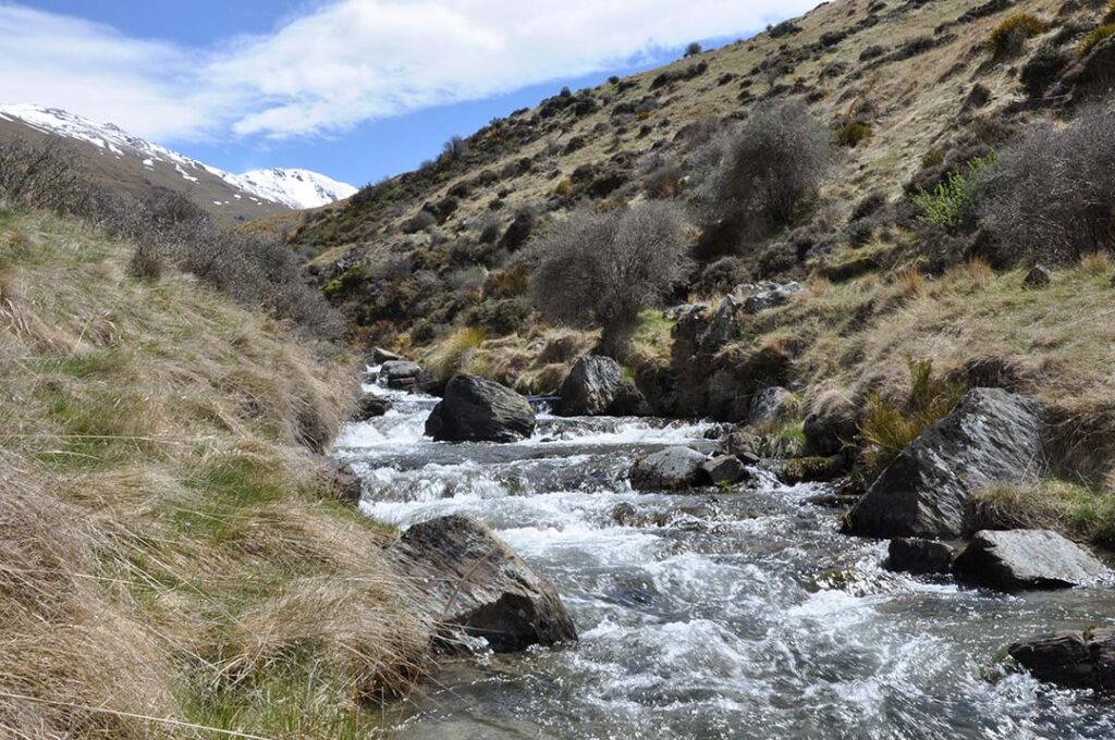
The route follows the single rocky channel of the Nevis River through a high V-shaped gorge between the Hector and Garvie mountains.
Streams feed the river from the mountains on either side, fretting the landscape and giving you 31 crossings. Water-races from mining days wind down the valley sides. Spiny wild spaniard, with its menacing sharp spears, grows in thick clumps along the way.
From Nevis Crossing the road climbs steeply to Duffers Saddle, between the Carrick and Old Woman ranges, giving views of the surrounding Hector and Garvie mountains, and a view of the “back” of The Remarkables to the west. From there it’s a steep drop to the old mining centre of Bannockburn, and Cromwell.
This road may be closed from May to October by the Southland District Council. Check with the council before you set out: Invercargill – 03 218 7259; Lumsden – 03 248 7307
Vehicles: 1
Terrain: gravel, clay; 31 stream crossings
Access: legal public access (seasonal)
Distance: 67.2km
Camping: no
To get there: Turn right off SH6 into Nevis Road 1.6km north of the Garston Hotel.


Route notes – south to north
0.0km: Follow Nevis Road from the intersection of SH6.
0.1km: End of seal.
1.5km: Straight ahead at crossroads.
2.0km: Turn right through gate; leave closed.
3.3km: Gate, leave closed.
8.3km: Historic ski hut. Information notice inside – please close the doors.
9.7km: Summit (1100m).
14.1km: Gate, leave closed.
24.7km: Gate, leave closed.
29.3km: Bear left to old goldmining area. Stone houses and pond. Return to main track and reset to 0.0km at stream crossing.
0.0km: Stream crossing.
2.2km: Gate, leave closed.
2.3km: Turn off to left to old mining area. Return to main track, reset to 0.0km.
0.0km: Bear left.
1.0km: Ford Whittens Creek.
1.9km: Enter gorge.
2.7km: Ford.
5.3km: Ford Sproules Creek.
7.4km: Gate, leave closed.
7.7km: Water-races on hillside ahead.
8.2km: Ford Commissioners Creek to leave gorge.
8.6km: Gate, leave closed.
9.3km: Hut on left.
9.5km: Old stone huts on left. Lower Nevis.
10.4km: Stream crossing.
10.8km: Old stone buildings on right.
11.3km: Old Nevis cemetery to left. Reset to 0.0km.
0.0km: Straight ahead.
1.0km: Schoolhouse Flat.
2.1km: Gate, leave closed.
3.4km: Stream crossing.
3.5km: Bridge with gate, leave as found, or ford Stewarts or
Schoolhouse Creek.
4.2km: Stream crossing.
4.8km: Gate, leave closed.
5.3km: Gates, leave as found. Ben Nevis Station to left.
6.4km: Gate, leave as found.
6.7km: Straight ahead.
6.9km: Bridge over Nevis River. Good picnic spot next to the bridge. Start of climb to Duffers Saddle.
7.7km: Cattle-stop and gate, leave as found.
10.4km: Cattle-stop.
14.6km: Duffers Saddle (1300m) on top of the Carrick Range.
14.8km: Cattle-stop. Reset to 0.0km.
0.0km: Drive downhill.
2.9km: Cattle-stop.
5.0km: Cattle-stop.
9.1km: Cattle-stop.
9.4km: Cattle-stop.
9.5km: Intersection of Nevis Road/Hawksburn Road. Reset to
0.0km.
0.0km: Bear left.
5.2km: Bannockburn Hotel. Straight ahead to Cromwell.


