Judging by sales of my 4WD guidebook and social media posts, there are a lot of keen off-roaders and overlanders out there planning their summer adventures. To help, here is the first in a series of blogs looking at some of the best routes in my book and nearby towns and centres that make an ideal base.
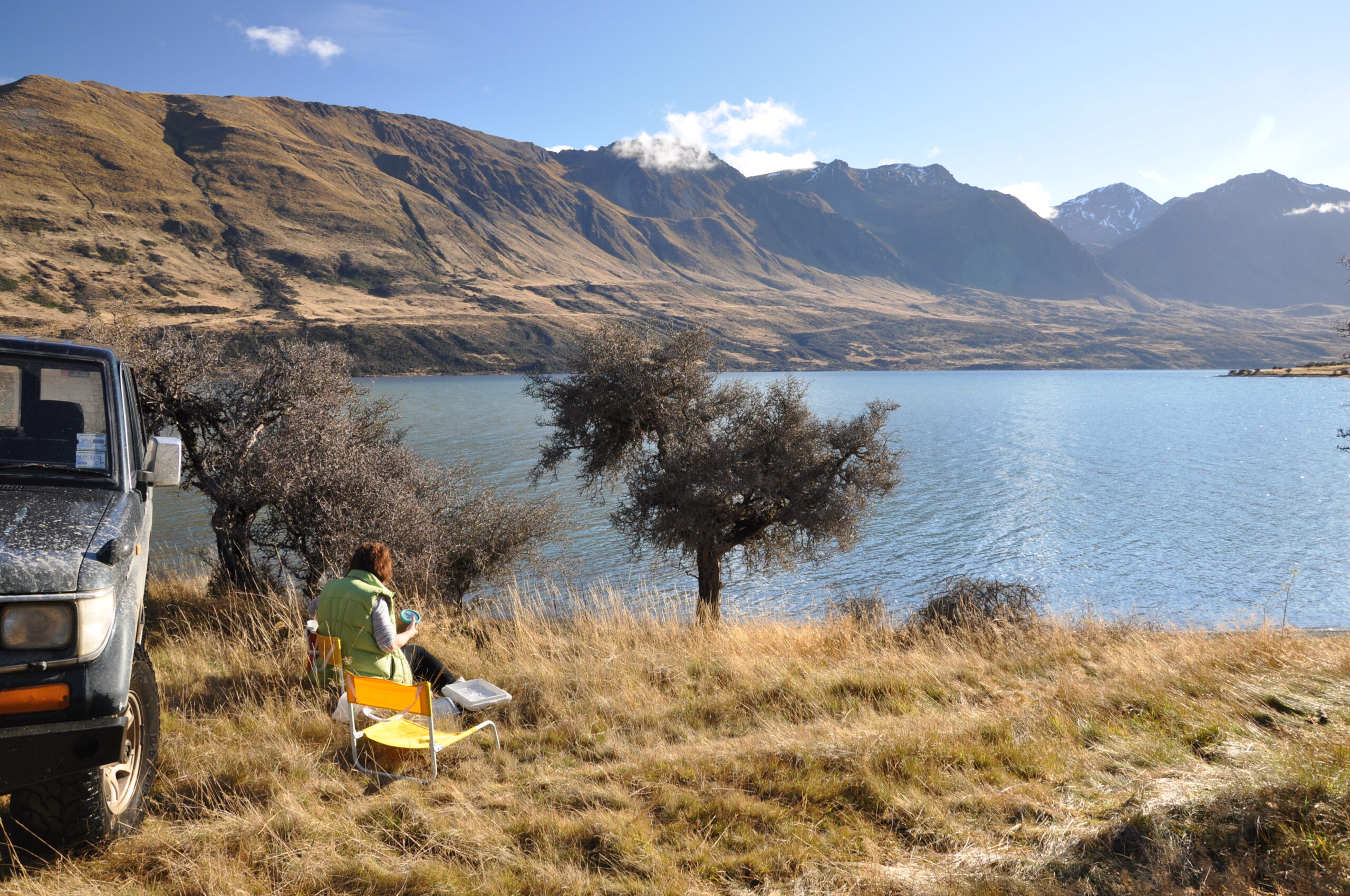
The Mavora Lakes are one of the most beautiful places I have visited in 30 years of surveying 4WD routes. North Mavora Lake and South Mavora Lake lie in the valley between the Livingstone Mountains to the west and the Thomson Mountains to the east, in the high country between lakes Te Anau and Wakatipu. Surrounding the lakes is the Snowden recreation area, 44,751ha of state forest that offers many opportunities for tramping and climbing.
The route from SH94 to the head of North Mavora Lake and back is 110km. Dense beech forest envelops you soon after the turnoff, but this opens out into a clearing that provides excellent camping. From here, a rough track leads around North Mavora Lake, winding in and out of the bush, sometimes taking to the gravel on the lakeshore. From the head of the lake, you can see north to Mt Mavora (2008m) and west to the Livingstone Mountains.
East of Mavora Lakes and south of the central arm of Lake Wakatipu lie the imposing Eyre Mountains, home to a network of tracks (Eyre Creek, Mulholland Track, Mt Bee Track) that give options for a challenging day trip. Start with the Eyre Creek route and see how far you can get. The track leads right to the heart of the mountain range, where peaks tower on all sides; the highest, Jane Peak, is 2035m. To get that far you will need a capable off-road vehicle, and company, but a lightweight 4WD will get you as far as the hut at Shepherd Creek.
Lake Manapouri, South Arm, heads east from Lake Monowai over the Borland Saddle to the Grebe River and on to the south arm of Lake Manapouri, for camping, fishing or just revelling in the picture-postcard view. The trip from the main road at Monowai to deep inside the Fiordland National Park and back again is 115km, so you will probably have it all to yourself (and the sandflies). At the road end, densely beech-clad mountains are reflected in the lake’s brooding surface.
Lumsden’s position at the crossroads of Southland, the junction of SH6 and SH94, makes it an ideal base for exploring these western routes, and accommodation is available in Lumsden and nearby Mossburn.
If you are exploring the whole Southland region, a better base is Gore. It is closer to the Catlins coastal area and its many attractions, and being a bigger town it offers better services. Also, excellent camping is available at Dolamore Park, a scenic reserve 11km from Gore.
Exploring western Southland


