Another blog in my series looking at some of the best routes in my book and nearby towns and centres that make an ideal base. This time – West Otago and the town of Middlemarch.
If there is a Mecca for four-wheel-driving in the South Island, it lies in that part of Otago from the Kakanui Mountains in the east to the Dunstan Mountains and Old Man Range in the west. The area between The Pigroot (SH85, Palmerston to Ranfurly), SH85 (Ranfurly to Alexandra), SH8 (Alexandra to Milton), and SH1 (Milton to Palmerston via Dunedin) has enough tracks and camping spots to last a decade of summers.
The natural base for exploring the area is the town of Middlemarch, on SH87 at the foot of the Rock and Pillar Range. East of here, the Taieri Ridge and Macraes Flat area offers day trips exploring an eerie landscape of towering schist outcrops. West, beyond the Rock and Pillar Range, you can follow old coach routes to derelict gold towns or drive through tussock wilderness to camp by high-country lakes.
Any trip west of Middlemarch begins with the Old Dunstan Road. This turns off SH87 at Clarks Junction, south of Middlemarch.
In the 1860s, before The Pigroot became popular, the Old Dunstan Road was the route to the Central Otago goldfields. The bleak and exposed road over the top of the Lammermoor and Rock and Pillar ranges gradually lost out to the easier and more sheltered Pigroot, with coachlines making the switch in 1864.
At its start, the road winds through typical Central Otago farmland – small rounded hills intersected by countless streams. It eventually climbs to 1000m at the southern end of the Rock and Pillar Range before beginning its steep descent to the old town of Paerau, in the valley of the upper Taieri River.
In the 1860s, Paerau was the site of the town of Styx. A hotel and stables, built in 1861, and a jail remain. Visitors are welcome to walk to the site from a riverside carpark.
One of this area’s unique touches – old stone fenceposts – begin to show up on the descent to Paerau. Look out for them along the side of the road. This is one of the more barren parts of Central Otago, and pioneers had no trees from which to fashion timber fenceposts. So they made do, and many of their schist posts still stand.
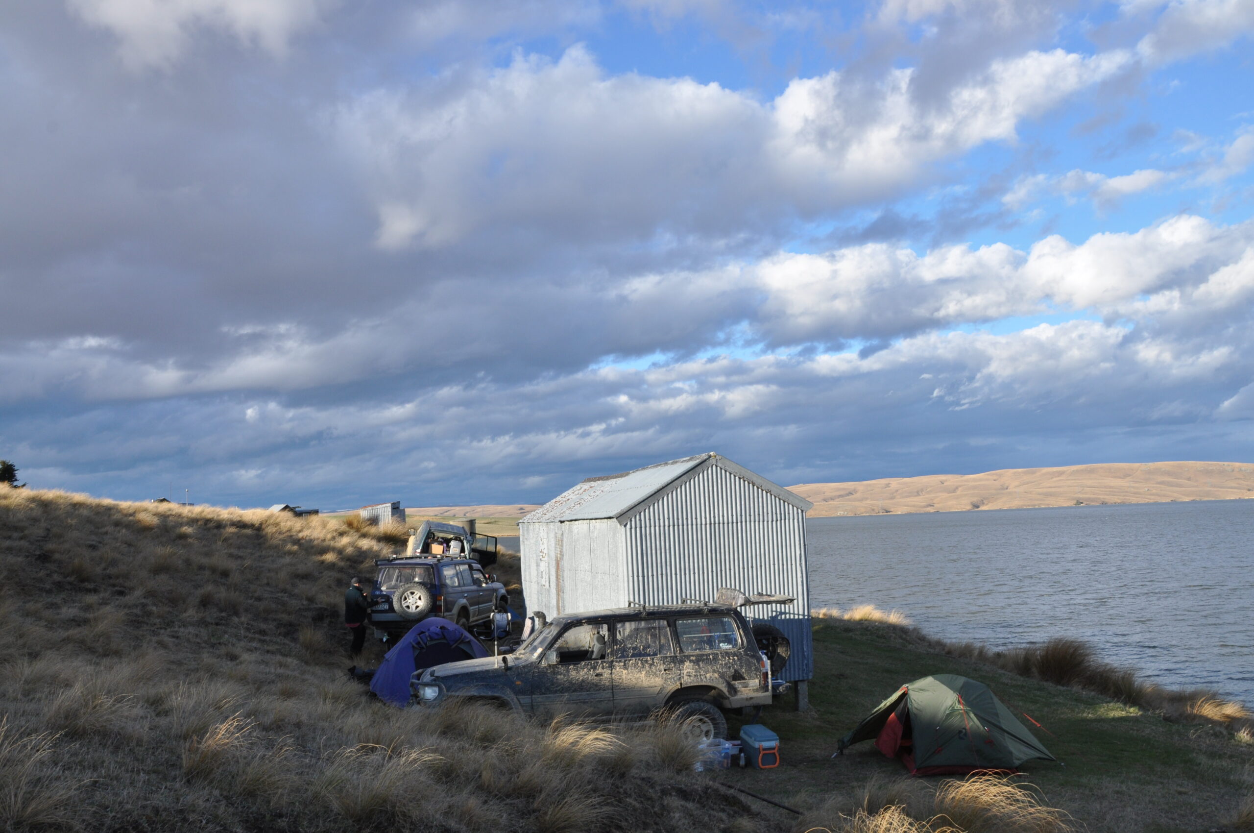
West of Paerau, routes criss-cross the tussock wilderness. Old Dunstan Road continues (Old Dunstan Road 2), but through a much rockier and sharper landscape, with large schist outcrops. The route climbs to Rough Ridge at 1000m before descending to Poolburn Reservoir and its fishermen’s cribs.
Long Valley Ridge Road turns off Old Dunstan Road 2 and heads southwest. Halfway along its 30km length is the Serpentine goldmine, with its still-intact waterwheel and quartz crusher, and the historic Serpentine Union Church.
The Serpentine Union Church was built of stone in the middle of nowhere by miners perhaps made more God-fearing by the stark, forlorn landscape in which they sweated. A wooden plaque at one end of the building gives an account of the church’s grog-marred consecration service.
Lake Onslow Road and the Lammerlaw/Lammermoor Ranges route link with SH8 (Alexandra to Milton), giving you off-road options if you are heading south to the Catlins area and Gore, or west to Alexandra and on to Cromwell. Beware of snow on the Lammerlaw/Lammermoor at any time of year – if you get stuck you may be there a while.
Exploring West Otago


