Another blog in my series looking at some of the best routes in my book and nearby towns and centres that make an ideal base. This time – South Canterbury and the towns of Fairlie and Omarama.
Look at an ordinary road map of the South Island. The vast block of South Canterbury bounded by SH1 (Oamaru to Timaru), SH8 (Timaru to Omarama) and SH83 (Omarama to Oamaru) will, depending on the map’s level of detail, be marked with either no or very few roads.
Look at the same area on a 1:250 000-scale topographical map and it’s a different picture. From where the Tekapo River flows into Lake Benmore, the map shows transmission lines heading south. The lines follow Black Forest Road over Montys Saddle and down to the shores of Lake Benmore and its giant earth dam, one of the biggest in the southern hemisphere.
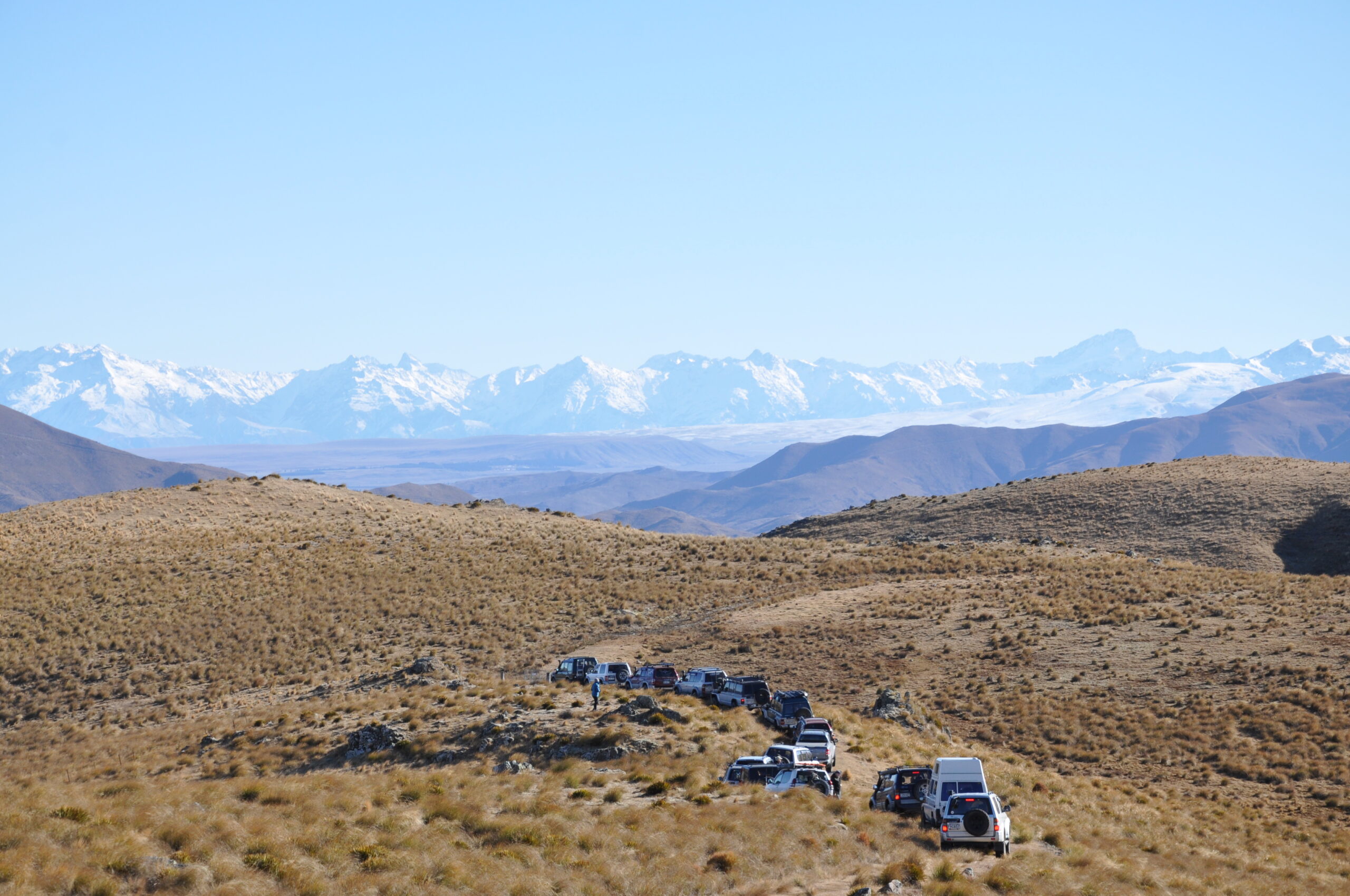
The private road, owned and maintained by Transpower, rises to nearly 900m in places and offers stunning views of golden tussock-covered hills, jagged rock outcrops, scree slopes and bare-rock tops. From its heights, the waters of Lake Benmore occasionally appear far below, bright turquoise amid a landscape of bleak grey.
From the holiday town of Otematata, SH83 runs along the shores of lakes Aviemore and Waitaki to Kurow. From here, between the Hunters Hills to the east and the Kirkliston Range to the west, the Hakataramea Valley runs north, climbing to a pass at 915m from which, on a good day, you can look straight across the Mackenzie Basin to Mount Cook.
The historic Mackenzie Pass leads from the Basin to Burkes Pass and SH8. Mackenzie Pass bears the name (spelling slightly altered) of James McKenzie, a Scottish sheep drover convicted in 1855 of stealing sheep, only to be unconditionally pardoned after nine months in prison. Conspiracy theories remain to this day.
Join all that up and you have a two-day round trip through the heart of South Canterbury. Stay overnight in Otematata or Omarama in the south or Fairlie in the north, depending on where you are based.
Meyers Pass and Old Kaiwarua Road head east from the Hakataramea Valley to the Pentland Hills area behind Waimate, home still to wallabies descended from those liberated in the area in the 19th century. Meyers Pass is easy-going, Old Kaiwarua Road unpredictable if wet. For a day trip from Fairlie, drive south through the Mackenzie Basin and the Hakataramea Valley, then follow either Meyers Pass or Old Kaiwarua Road to Waihao Downs. Continue on to Waimate, then up the coast and inland to Cave, SH8 and Fairlie.
For a more challenging day trip, drive to Tekapo and head up the eastern side of the lake to the Macaulay River. The route up the riverbed ends at the 14-bed Macaulay Hut. This “Ritz of the High Country” was built as a community millennium project, with thousands of hours of voluntary labour and donated materials, and is free for all to use. It was opened by the Prime Minister, Helen Clark, in September 2000.
The Macaulay Valley has been popular with trampers and shooters for many years, but fire has claimed a number of the huts in the area. Tekapo locals had the idea of replacing the razed Waterfall Hut with a community-built millennium tribute to the pioneers of the Mackenzie. They formed the Mackenzie Alpine Trust, led by high-country farmer Andrew Simpson, and got permission to build on Department of Conservation land on the Lower Tindill Stream, 18km up the valley.
All the materials were dragged into the site by 4WDs and tractors, and the result is a handsome hut made of larch and oregon, fully insulated and clad with river rocks. It has cooking and heating facilities, a mountain radio and even an outdoor bath set above a fire.
The drive from Tekapo to the hut takes about 2-1/2 hours, barring mishaps, so the return trip can be tackled in a long day, stopping at the hut for lunch. It’s a shame to go all that way and not enjoy the comfort and camaraderie of the hut overnight, though, and there are several walks in the area. You should count on there being at least one other group staying at the hut, so expect company. Dogs are welcome but not in the hut.
Exploring South Canterbury


